(585) 768-2513
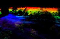
Shortly after lasers were first developed in the 1960s, LiDAR—whose name originated as a combination of “light” and “radar” – capitalized on the newly unique precision they offered for measuring both time and distance. LiDAR quickly became the standard method for (3-D) land surveys and is now used in a multitude of sensing applications, such as self-driving cars. By scanning areas of land with lasers, often from airplanes, LiDAR’s travel-time measurements for light reflected back from the scanned area provide the distances that make up a resulting high-resolution topography.
Seeing The Forest Through The Trees With A New LiDAR System